

Structured light is still how we capture most parts in South Windsor. Some jobs are simply too large, too installed, or too aerial for a scanner on a tripod. That is where drone-based photogrammetry belongs: many overlapping photographs, a known scale, and a reconstruction you can trust.
This is not a pivot away from metrology. It is the same question — what is the real shape, at a known scale — asked of sites, airframes, and assemblies that a CMM will never see.
What aerial photogrammetry is good for
- Airframes, UAV fuselages, and large aero surfaces
- Installed equipment and structures that cannot ship to the lab
- Context models around a part we will still scan up close
- Archive geometry when you need a model, not just a flyover video
Photogrammetry does not replace white-light scanning on a turbine blade. It precedes or surrounds it when the object is a vehicle or a site. We still bring structured light and CMM to the features that carry the tolerance.
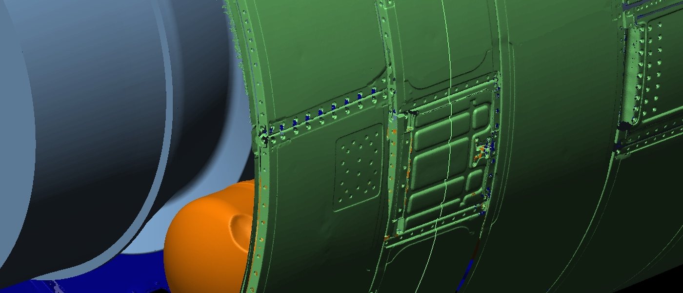
Control, scale, and honesty
A mesh from pretty pictures is easy. A mesh you can mill or inspect is not. We care about ground control (or equivalent scale), overlap, and whether the reconstruction is a visualization or a measurement. If the next step is CAD or a colormap, say so up front — that changes the flight and the processing.
Related lab methods: 3D digital media and on-site scanning. To scope a UAV photogrammetry job, send photos and the size of the object.
— Bolton Works